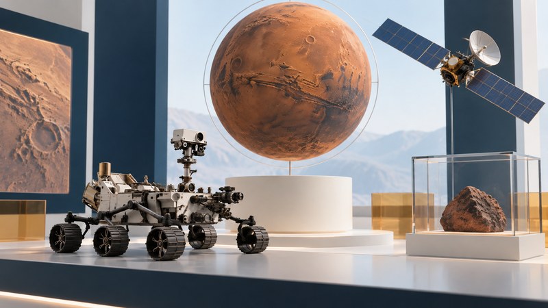
Mars exploration connects views from orbit with measurements on the ground. Orbiters show where a feature sits in the landscape; landers and rovers investigate the rocks, soil, atmosphere and interior more closely. Together, they help explain how a cold desert planet acquired the traces of rivers, lakes and changing environments that we see today.
Start with a question, then ask which instrument could answer it. A photograph can reveal layers, a spectrometer can constrain composition, and a seismometer can probe the interior through ground motion. Each result has a scale, a location and a limit.
What are scientists trying to learn?
Mars preserves a record of planetary change. NASA's Mars science objectives connect the search for life and habitable environments with the planet's geological, climatic and internal evolution, and the information needed for future human exploration. Four useful reader questions are:
- How did the environment change? Compare ancient water-shaped landforms and minerals with today's atmosphere and surface conditions.
- Which environments could have supported life? Look for the combination of water, usable energy, chemistry and conditions over time that would make a location habitable.
- What built and reshaped the planet? Investigate volcanoes, impacts, sediment, tectonic structures and the interior.
- What would exploration require? Measure terrain, dust, weather, radiation and possible resources before designing a mission around assumptions.
Habitability describes suitable conditions. A claim that life existed needs additional evidence about its origin and alternative explanations. Keep those questions separate when reading a headline about water, organic molecules or an unusual rock.
Different missions answer different questions
An orbiter's coverage and a rover's close examination complement one another. The most useful comparison is the measurement each platform can make.
| Platform | What it contributes | What to check |
|---|---|---|
| Orbiter | Regional images, mineral maps, atmospheric observations and, on equipped missions, radar sounding or communications relay. | Instrument, pixel scale, coverage, season and whether the measurement samples the surface or a subsurface volume. |
| Stationary lander | Repeated measurements at one location: weather, soil properties, seismic activity or other mission-specific experiments. | How representative that site is and how the sensor interacts with the ground or atmosphere. |
| Rover | Close images and instrument measurements along a route; comparison of several rock units and local settings. | Traverse location, reachable targets, sampling method and the link between a close-up and its wider setting. |
| Earth-based laboratory | Controlled experiments, instrument calibration, meteorite analysis and tests of competing interpretations. | Sample origin, experimental conditions and how well the laboratory case represents Mars. |
NASA's Spirit and Opportunity science objectives explicitly connect rover measurements with observations from orbit. Ground-level geology helps test interpretations made across much larger areas.
Follow the evidence from landscape to rock
Imagine investigating a fan-shaped deposit at the end of a valley. First locate it in orbital images: does a channel lead into it, and how does it relate to the surrounding basin? Then inspect layers, grain sizes and mineral measurements. Finally compare explanations that could produce the whole set of observations.
Jezero crater provides a real example. In 2021, Perseverance images of the delta front and the nearby Kodiak butte helped scientists interpret layered deposits and the crater's past environment. NASA's account of studying the Jezero delta from a distance shows how ground views added information to a landform already recognized from orbit.
The reasoning becomes stronger when several kinds of evidence agree. A shape alone leaves more possibilities open than a shape combined with layered sediment and compatible chemistry. The water evidence guide develops that distinction; the Mars image-reading guide explains how to examine a picture's scale, processing and context.
A few milestones that changed the questions
Use this short sequence as orientation, then consult NASA's Mars Exploration Program and mission records for individual histories and current status.
- 1965 — Mariner 4: close-range flyby images brought spacecraft observations into the study of Mars.
- 1976 — Viking: orbiters and landers connected planetary mapping with experiments on the surface.
- 1997 — Pathfinder and Sojourner: a small rover demonstrated mobile exploration alongside a lander.
- 2004 — Spirit and Opportunity: two rovers investigated different geological settings and evidence of past water.
- 2012 — Curiosity: a mobile laboratory began investigating Gale crater's environmental history.
- 2018 — InSight: a stationary lander brought seismic investigation to the Martian interior.
- 2021 — Perseverance: exploration of Jezero added detailed investigation and sample collection in an ancient lake-and-delta setting.
These are arrival or encounter milestones, not a list of currently operating spacecraft. Mission lifetime and the useful lifetime of archived data are different: a completed mission can continue to support new research.
Read the next Mars discovery with five checks
- Name the observation. Write what was measured before writing what it means: an image, a spectrum, a ground-motion signal or a sample result.
- Locate it. Record the mission, instrument, site and observation date. A result at one crater may have a narrower scope than the headline suggests.
- Find the comparison. Ask which laboratory tests, geological analogues or earlier measurements support the interpretation.
- Read the uncertainty. Look for alternative processes, assumptions and the next measurement that could distinguish them.
- Keep the original record. Save the mission page or paper alongside the image, including its credit and processing notes.
For example, “a mineral associated with water was detected” supports a question about environmental history. Establishing the amount, duration and chemistry of that water takes further work. That more precise reading gives the discovery a useful place in the larger story.
Choose your next route
Begin with finding and reading Mars images for a hands-on activity, or water on Mars for an evidence-based explanation. Compare the latter with water on the Moon to see why a shared word can describe very different materials and environments.
Earlier Mars reporting and mission context
These dated pages preserve coverage of particular moments in exploration: MRO's arrival, a 2004 international relay demonstration, Spirit's landing, Mini-TES calibration, Odyssey's orbit insertion and its arrival preview. The earlier Why Mars essay reflects the scientific outlook of its period.
Return to Space Exploration for the full library. For observing and studying the wider universe, explore Astronomy.