Xing Tian Di's InfoEarth purchased Z/I Imaging's Digital Mapping Camera to streamline accurate digital acquisition as it transforms its surveying and mapping production processes into a fully digital workflow. Xing Tian Di's offerings include services for spatial remote sensing, geographical information systems (GIS) and global positioning systems (GPS). Xing Tian Di is one of China's leading high technology companies that integrates scientific research, software development and technology trade. Xing Tian Di produces digital terrain models and orthophotos for various Chinese organizations, such as local lands and planning departments. With the unmatched precision and quality of imagery captured using the Digital Mapping Camera, Xing Tian Di can ensure it provides its customers with accurate products in a highly efficient manner.
"We selected Intergraph's Digital Mapping Camera after an extensive evaluation of available technologies, including running test flights to capture local Chinese imagery," said Mr. Chen Hanlin, president of the Xing Tian Di Group. "We were particularly impressed with the accuracy, image quality and high versatility offered by the Digital Mapping Camera, which will allow us to smoothly transition our processes to a fully digital workflow. We are also excited about the additional possibilities the Digital Mapping Camera will offer us. It will give us more flexibility in completing projects through its ability to fly in different weather conditions and its suitability for large-scale photogrammetry projects."
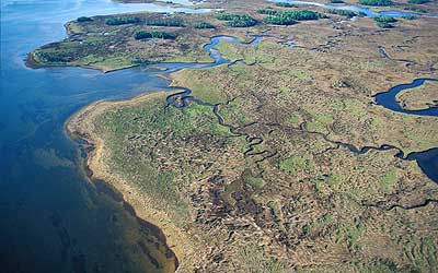
As part of the evaluation process, Xing Tian Di flew several test photo flights that covered the Chang Zhou local airport and the city of Zhenjiang. Varying heights and scales were employed, including photo scales of 1:4000 and 1:7000 and heights up to 520 meters. During the photoflight of the airport, the Digital Mapping Camera acquired 88 photos that covered 3 x 2 square kilometers each. The photoflight of Zhenjiang generated 2000 photos to test the full capacity of the camera. They also flew at scales of 1:6000 and 1:12000 in the Cuiping Mountain area and 1:25000 in Nanjing city. According to the digital image photogrammetric mensuration accuracy report issued by the Chinese government, the Digital Mapping Camera met government accuracy standards for large-scale mapping.
"We are very pleased that Xing Tian Di has selected the first Digital Mapping Camera that will be deployed in China," said Terry Keating, Chairman, Z/I Imaging. "Xing Tian Di recognizes the value of evolving their processes to a completely digital workflow, which will allow them to offer better and more exact products to their customers."
Customers using the Digital Mapping Camera have seen productivity gains and enhanced quality of deliverables with this complete digital workflow enabled through key features such as completely electronic Forward Motion Compensation (FMC) and 12-bit per pixel radiometric resolution. The system is comprised of four parallel cameras generating multispectral imagery for the acquisition of color composites and four high-resolution panchromatic cameras acquiring imagery that is digitally processed in order to form a single, large-format multispectral frame. The Digital Mapping Camera can perform a wide range of aerial survey mission types and is capable of ground resolutions better than two inches. The sensor model of the Digital Mapping Camera is based on the central perspective image, which allows processing of data in all existing exploitation systems.